Wildfire Awareness
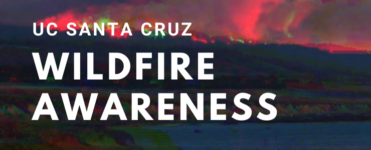
Wildfire Awareness
UC Santa Cruz has long prioritized the connections between higher education, research, and the environments we inhabit. We have the privilege of living in one of the most beautiful areas in California, nestled in mixed-growth redwood forests and beside the vast Pogonip trail system. Furthermore, our remote locations and nature reserves span some of the best geography that the state has to offer!
Our presence in this natural wonder does come with its share of concerns. Chief among them are the wildfires that the state has become synonymous with in recent years. In this section, we will discuss recent wildfire events affecting UC Santa Cruz, actions that are being taken to prevent wildfires and mitigate their effects, and what you can do to prepare yourself well in advance.
Table of Contents
- About Wildfires and UC Santa Cruz
- Wildfire Safety Initiatives
- Preparing for Wildfires
Current Wildfires
The map embedded below shows current wildfire activity around the United States. Wildfire incidents have a wide variety of ranges and severity. If you are planning to travel during wildfire season, make sure to keep an eye out for ongoing incidents and road closures.
This map is hosted by the National Alliance for Public Safety GIS (NAPSG) Foundation. It is provided to provide a snapshot of ongoing wildfire activity and combine resources. For more Santa Cruz-specific information, please visit the Santa Cruz Regional 9-1-1 Know Your Zone page.
The content of this section has been developed alongside the Designated Campus Fire Marshal and contains resources from the California Department of Forestry and Fire Prevention (CalFire) and the Federal Emergency Management Agency (FEMA). For questions about the content of this section, please contact the Office of Emergency Services at oes@ucsc.edu.
